|
Update on Project Activities
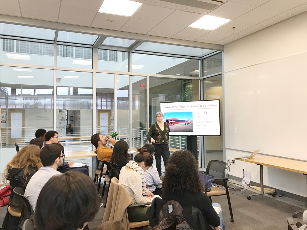
This week, after getting a broad background of the tolling project on Highway 101, we got the opportunity to meet Adina, the executive director of Friends of Caltrain. We organized a rough timeline to be able to achieve our final deliverables: education materials to both policymakers and the general public about managed lanes based on a literature review on managed lanes as well as survey and focus group results. Before February 4th, we will comment on and edit the first draft of the survey that Friends of Caltrain has written, read through literature about managed lanes that Adina will send to the team and begin scheduling focus group meetings. After the fourth, we will work to send out surveys, conduct focus groups, collect and consolidate data, and analyze results. We also got a better understanding of the general scope of our project which will involve fine-tuning surveys, sending out an electronic survey, holding several focus groups, and converting results to an accessible format to be published in. What We Observed and Learned Highway 101 is infamous for its terrible gridlock, and knowing how tackle congestion in such a car-emphasized design requires taking in all of the stakeholders involved in influencing the transportation system in the Bay Area. This particular highway stretches through many different jurisdictions, and also affects a wide breadth of people. Because we must try to tackle congestion from this diverse perspective, implementing managed lanes on the 101 in San Mateo County is a really complicated issue, especially given the number of organizations with authority over the area, such as Caltrans and San Mateo County, and the diversity of people who use the 101 to travel to a variety of locations. Furthermore zooming on the issue of highway modification itself, there are plenty of variables to consider, such as tolling, passenger minimum, transit alternatives, and legislation in the way of converting lanes. Changing any of these variables impacts the rest of the system, and of course each change impacts different groups around the Bay differently. For example, different income brackets in the Bay Area use different transit alternatives— low income individuals tend to rely on bus systems more often, but more of the funding in the Bay Area goes to Caltrain. These are the tradeoffs that must be considered when evaluating the efficacy of tolled lanes and transit alternatives. Thus, the survey and focus group research is just one step to ensure that Friends of Caltrain and TransForm arrive at the option that will yield the most benefit for locals and create a less congested Bay Area. Survey results will help us understand shared pain points that will lend to alternatives beyond simple lane expansion. Managed lanes are one of many potential solutions to driver need. Indeed we expect congestion and related time issues to top the list but convenience may prove influential. For example, lane additions are politically popular but counter-intuitively traffic intensifying. At a cursory glance, drivers appear to value ease of travel. Carpool lanes help reduce this burden but the state of California bars conversion of existing lanes without replacing the net loss of a standard lane. Critical Analysis/Moving Forward It’s exciting to be able to work on a potential solution to a complex problem especially in regard to three pillars of sustainability such as environmental quality, economic vitality, and social equity. In order to do work within promoting sustainability in social equity through tolling, we realize that it is necessary to gain a robust background in managed lanes with a lens on sustainability in environmental quality, economic vitality, and also general project sustainability. After we have the supporting information about managed lanes, it is then when we will be able to be the sounding board and connection between users of the road and policy influencers such as Friends of Caltrain and TransForm. Communication will be key. Communication not only between our team here at Stanford and the two organizations we are partnered with but also between our team and the community members we will be conversing with. Because we will be conducting focus groups sessions from Weeks 5 - 8, we realize that the framing and language of our questions and disseminated information will need to be tailored to our population. Empathetic communication and a robust education on the 101 managed lanes project is how we aim to go forward to effectively and empathetically frame our questions.As the weeks go on, we will be able to iterate on our strategies as we communicate within our team and with our two partner organizations. In terms of the 101 project itself, we are entertaining the presence of many project difficulties, such as the enforcement of the toll lanes. Even if the funding from tolled lanes is used to fund alternative transit to help low income residents, how do we know that people will know about this alternative transit and actually use it? Furthermore, if this alternative transit is subject to the now higher traffic in other lanes, what are the broader implications of this? As we read up on the literature that Adina will send us and any literature that we may stumble upon in our process, we recognize there will be more questions that pop up, and as Adina told us at our first meeting, we simply need to be accepting of that complexity and ambiguity in searching for solutions to congestion in the Bay Area. As we move forward, it is important to be open to all possible conclusions, and reflect that openness in the surveys and focus groups we hold. Update on Project Activities
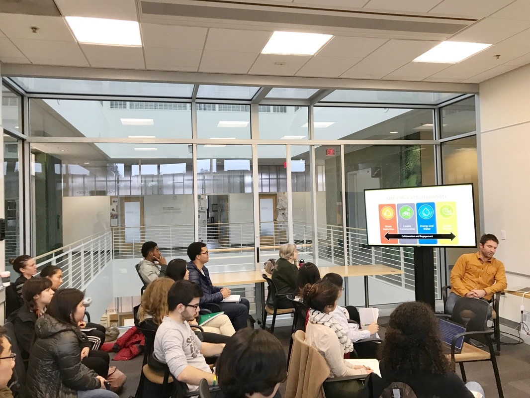
This week our team prepared for our Wednesday meeting with our community partner by reading the available resources on our project. On Wednesday we met with Dave Jaeckel, who is our main contact at the San Mateo County Office of Sustainability and Department of Parks. When we spoke with Dave, he introduced us to his background and education and context within which he understands urban sustainable issues. Dave then led us through the scope of our project, important dates and critical contact information. For our project, Dave has scoped our problem to aggregating and presenting data that exists on Wildlife Picture Projects and creating a baseline data set for the department. We determined that our second deliverable for the quarter will be to install wildlife cameras in San Pedro Valley Park in February, in doing this we must select the positions for the cameras in install them to best capture photographs of wildlife. Additionally Dave led us through important dates and a list of important contacts through which to inquire about existing data on wildlife cameras. Our team then discussed best next steps and exchanged contact information. We scheduled a meeting on Thursday January 19th and sent Dave our contact information so that he could add us to Freedcamp.com which is where we will collaborate on tasks along with Google Drive for weekly team journal documents. Our team has also created a Slack channel for day-to-day communication and information-sharing. Additionally we are filling out a Doodle poll to find the best date to install the San Pedro Valley Park wildlife cameras. What We Observed and Learned This week, we read two papers that contextualize the purpose and design of our project. Habitat destruction and its accelerating effects on biodiversity loss are no mysteries to science, but the first paper, The Wildlife Picture Index: monitoring top trophic levels, described the difficulties we encounter when we try and quantify and track ecological damage. There is no universal method with which to track and index biodiversity levels (particularly across trophic levels), and identifying biologically critical habitats has been difficult. The Wildlife Picture Index was a system featured in the paper that described one method of capturing data from upper trophic levels - namely, medium-to-large sized fauna that generally occupy the upper range of trophic habitation. The primary method involves camera trapping, the process of setting up cameras throughout a region that take photos when triggered by large enough movements. These cameras capture pictures of animals, and an analog on species density and variety can be catalogued. It is a method that has yielded sufficient success in taking a snapshot of a region’s biodiversity, and, if taken over a long period of time, can be used to track how a region’s ecology evolves/degrades/improves in response to the surrounding human intervention. The second paper, Critical Linkages: Bay Area and Beyond, introduced the geographical element of biodiversity management. Data, such as that provided by camera mapping, can reveal ecologically critical regions where biodiversity is best sustained. Human activity frequently fractures these regions, and even if the total area of impact is minimal, the way in which roads, train lines, and other urban centres separate key regions can cause a myriad of negative effects, known (interfering with migratory patterns, cutting of species from mating grounds, etc.) and unknown. The paper posited that by using ecological data (of which, as of yet, there is little), we will be better equipped to link biologically rich areas together such that further damage and species loss can be minimized. Crossing structures, such as bridges or underpasses, are one such method of linking these habitats. The data our project provides will hopefully be used to inform future efforts to better integrate the bay area with the environment into which it has inserted itself. After comparing Dave’s presentation to some of the readings that we’ve done, we realized that projects like the Wildlife Picture Index contribute to conservation efforts on multiple levels. On the one hand, they are ways of collecting fairly quantitative data that can be used in the long term to track species and analyze situations in these parks. On the other hand, having a picture library to show interested members of the community will build community-level involvement and awareness. I mean, who doesn’t love cute pictures of animals? It’s really neat to see how these camera trap projects can serve a dual purpose. Another, perhaps more unorthodox, connection that we made between the project and the readings was the similarity between the Critical Lands Network mentioned in the reading with the initial work that we’re doing. The paper describes the need for an organization to engage multiple smaller conservation agencies and groups and identify a land network that is capable of conserving the biological diversity of the Bay Area as a whole. The initial work that we’re doing for this project involves contacting multiple agencies from around the Bay Area, and trying to visualize the aggregated data into a whole picture of camera trap wildlife conservation efforts in our area. While definitely not as widespread or as comprehensive as the Critical Lands Network, it still feels like we are working to pull different organizations together to solve important (albeit small) problems that affect all of us. Critical Analysis/Moving Forward Moving forward we need to initiate contact with potential project partners, align our schedules to find a meeting time, and begin to learn the possibilities offered by different data visualization layouts. There are a handful of individuals and organizations that currently possess data on the wildlife around San Mateo County Parks. Our first step is to contact these individuals to initiate a sharing process for the data they have. Once we obtain this data we need to organize it in an efficient way and figure out how to display it. While the organization of the data cannot begin until we have gathered it from those who have it, we can familiarize ourselves with the data visualization site Tableau while we wait to begin to ideate on the different ways to format the data and the positives and negatives of each display layout. This said, first priority is to make contact with the people we have been directed to as it may take some time to get a response. A concurrent step that needs to be taken is to work through our schedules to find a good time to meet for the camera installation and for the meet-ups with our project partner. After the initial discussion, we realized we may have only ¾ people present due to scheduling conflicts. This means that if someone cannot make it we need to take notes and inform them of the proceedings of the meeting and our movements going forward. Update on Project Activities
By meeting city planners from the city of Salinas and engaging in a detailed intro of the task at hand, our team has taken a confident first step towards constructing a housing inventory methodology for the re-vibrancy of the Alisal neighborhood in Salinas. We now understand with more specificity the composition of the Alisal, both internally in terms of the socioeconomic, spacial, environmental, and developmental status of regions in the neighborhood and externally in comparison to the other neighborhoods in Salinas. We discussed the tools we will use (GIS, HUDD) and the various approaches to a walk audit we can take. We solidified the following action steps: 1) Fully complete all readings, both on Piazza and what was sent to us by planner Jonathan Moore on various walk-audit methodologies and previous housing analysis in Salina. 2) Visit the Housing Authority development arm in Salinas next week. Using whatever time permits, we will meet other relevant organizations/departments and we will explore key areas of the Alisal. Getting a feel for the city and discussing those feelings will be important for both group dynamic and personal reflection. 2) Discuss and finalize overarching goals of developing a walk-audit methodology for the Alisal. The real enthusiasm and passion of the planners for The Vibrancy plan was certainly contagious. Through observation of the current housing structures and understanding their implications, we hope to help build a better standard for recognizing human dignity. What We Observed and Learned Our community partners, Jonathan, Lisa, and Carol, brought to life the importance of tackling issues of inequality in Alisal- issues we had only just read about before speaking to them. The huge discrepancy in wealth and services between Alisal and the rest of Salinas is very deep-rooted and institutionalized- as Lisa articulated, “It did not happen on accident”, which largely explains why it is such a complex problem to fix. The idea of “fixing” a problem is an interesting concept to explore because we are not going to go into Alisal and conjure up a plan to upheave poverty. We need to understand the marginalization in order to understand how to change policy and we need to engage residents in order to follow through with what they believe should happen in their neighborhood. Jonathan provided us with data illustrating how Flint took inventory on 2013 Housing and 2013 Commercial Property Conditions, using rankings such as, “good”, “fair”, “poor”, “structurally deficient”, “multi-family residential”, “commercial”, and “institutional.” We are going to use this scheme as a basis for our housing inventory of Alisal. Lisa emphasized that the “Alisal Neighborhood Revitalization Strategy Area 2015” is an important document to become familiar with, especially before spending time in the field. As we closed up our class session with discussion of future dates to meet, we also learned the logistic difficulty of managing so many different schedules. We need to remain flexible, open-minded, and empathetic, centered on the focus of supporting our community partners as a cohesive team force. This unity is extremely attainable; everyone shared their passion in engaging with a community outside of our respective bubbles and working to combat institutionalized inequality. Though there will be difficulties, a positive and energetic mindset will optimize everyone’s experience. Critical Analysis/ Moving Forward Tying our project to the class discussions and reading, our community partners have informed us of the ways in which the Alisal neighborhood of Salinas has been neglected and currently struggles in markers of social equity, sustainability, and economic vitality. Alisal is one of the poorest areas of Salinas as a product of historic and systemic segregation; this level of inequity has led to poor housing conditions the city is trying to tackle right now. Not only is the housing old and now low-quality, the unaffordable prices have forced overcrowding as residents’ only means of affording it. Alisal is also inadequately sustained, “almost a food desert” according to Lisa. Moving forward we want to not only further understand the situation from the Housing Authority and partners trying to alleviate the situation, but also from the residents who are bearing the brunt of the housing conditions themselves. It will be crucial for us to take their perspective especially when developing the housing inventory methodology. We have to anticipate the many barriers that may impede civilian participation in this survey method. Some barriers could include: language (97% of residents in Alisal are Hispanic/Latinx), access to the survey (paper printed vs. technology assisted), physical transportation (do they have the means/access to move about areas of the community?). We’re looking forward to visiting Salinas next week and learning more about how we can help the city develop this housing survey in the most effective ways. Our Winter 2017 Sustainable Cities officially kicked off today with our first Meet and Greet with Community Partners.
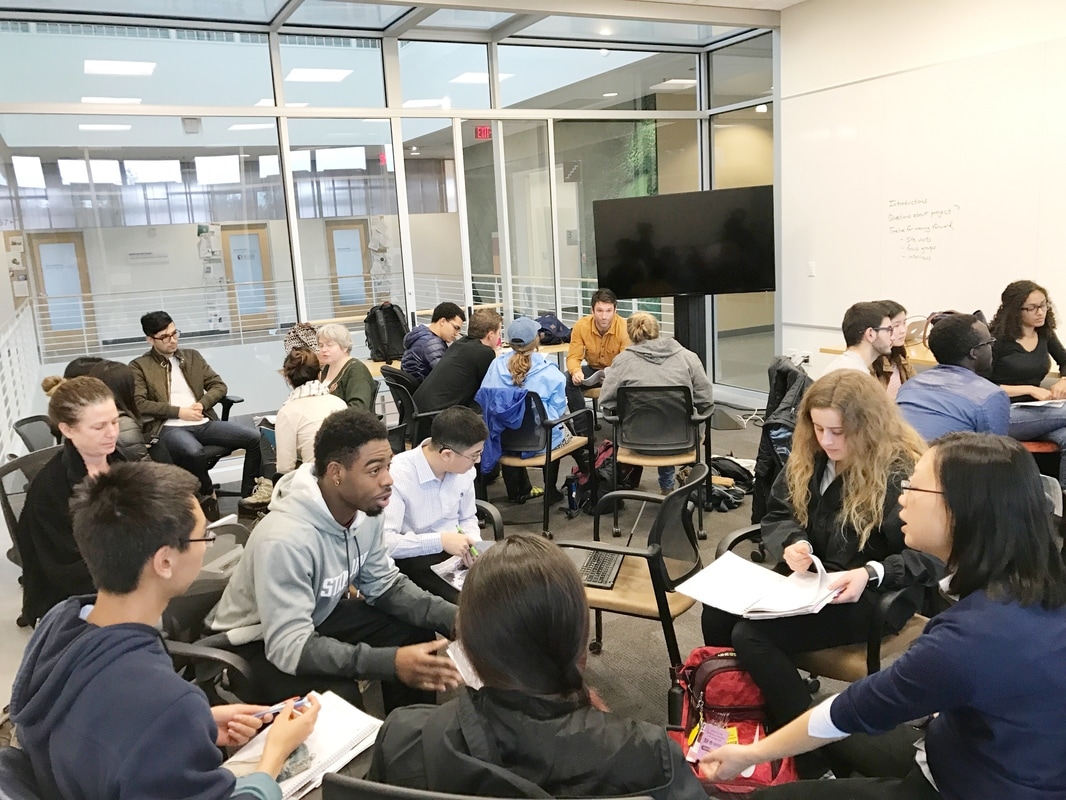
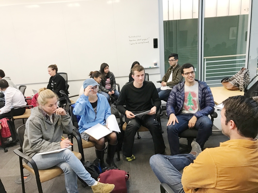
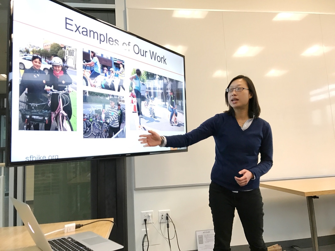
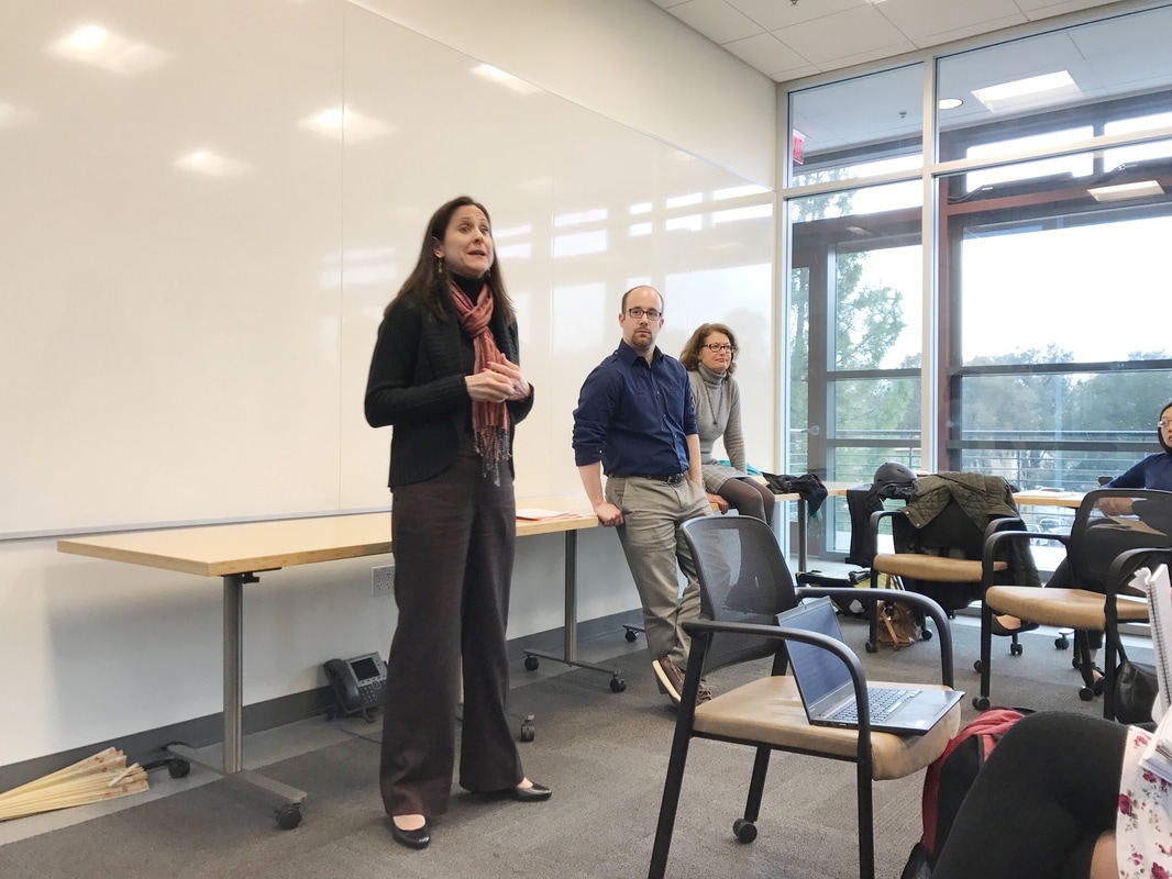
Now in its eighth year, Sustainable Cities is a service learning course offered through Stanford University’s Program on Urban Studies. Participants in the course engage in hands-on, experiential learning while they work collaboratively with Bay Area government agencies and community organizations to support their sustainability goals. The class is open to advanced undergraduate and graduate students from a multitude of disciplines, ranging from urban studies to civil and environmental engineering to earth systems and public policy, to support clients on meaningful fieldwork-based projects. The Winter 2017 class will work on the following projects: 1) Developing a bikeability metric for the City of San Francisco - Partner: San Francisco Bicycle Coalition and San Francisco Municipal Transportation Authority 2) Creating an affordable housing inventory for the Alisal neighborhood in the City of Salinas - Partner: City of Salinas, Community Development Department 3) Examining equity concerns with Highway 101 Managed Lanes - Partner: Friends of Caltrain and TransForm 4) Implementing data-driven natural resource management in San Mateo County Parks - Partner: San Mateo County Office of Sustainability, Parks Department Follow our adventures here on this blog throughout the quarter! |
Archives
November 2020
Categories
All
|

 RSS Feed
