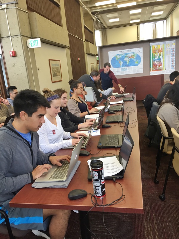
 Curious about mapping and visualizing cities? Great! This week, we visited the Stanford Geospatial Lab to discuss ways that we can integrate mapping and data visualization into our final projects. David and Stace offered a brief introduction to Geographic Information Systems (GIS) and a tutorial of two mapping tools: CartoDB and SimplyMap. For those of you who are interested in developing your expertise further, you are invited to sign up for the 3-hour Introduction to GIS workshop offered regularly throughout the quarter.
Comments are closed.
|
Archives
November 2020
Categories
All
|
 RSS Feed
